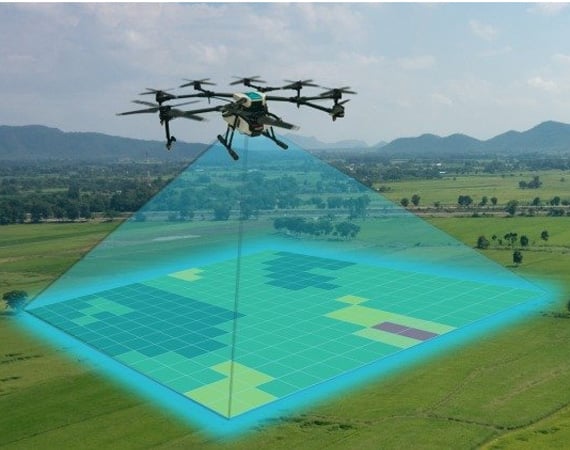
Drone surveying provides GIS professionals with a tonne of opportunity. With a drone, topographic surveys may be completed in a fraction of the time while maintaining the same level of accuracy as measurements obtained by traditional means. The price of a site survey and the labour load of field experts are both significantly reduced as a result.
An unmanned aerial vehicle (UAV) is used in a drone survey to collect airborne data with downward-facing sensors like RGB or multispectral cameras and LIDAR payloads. The ground is photographed numerous times from various angles during a drone survey with an RGB camera, and each image is tagged with coordinates.