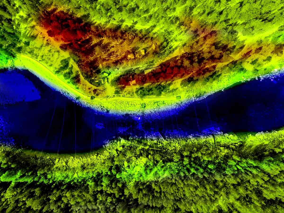
Maping and GIS Services
A system called a geographic information system (GIS) is one that collects, organises, processes, and maps all kinds of data. GIS links data to a map by combining location data (the locations of things) with various forms of descriptive data (the characteristics of those places). This offers a basis for mapping and analysis, which are applied in science and practically every sector of the economy. GIS aids users in comprehending trends, connections, and geographic context. The advantages include better management and decision-making, as well as enhanced communication and efficiency.


