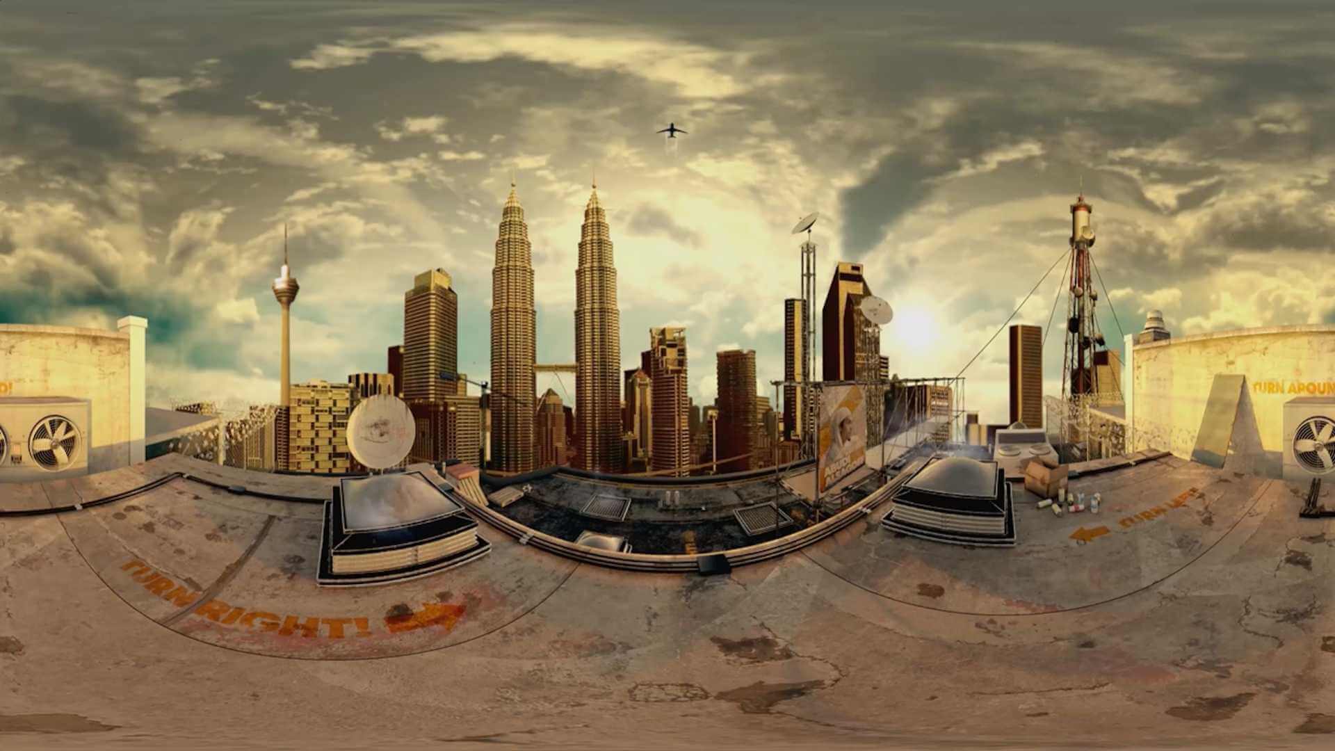
3D mapping GIS Services
Uncover the full potential of geospatial data with Esri’s 3D geographic information system (GIS) mapping software. Gain greater insights and understanding with realistic visualizations and advanced analytics. An array of industries such as urban planning; architecture, engineering, and construction (AEC); and government are driving smarter decisions by leveraging 3D GIS capabilities.
Create 3D data from already-existing data sources or get content that is ready to use from a variety of reliable sources, which is made available through the ArcGIS Living Atlas of the World and Esri partners. You can store, manage, interact with, and distribute content across many different devices using ArcGIS, a scalable 3D system of record.


