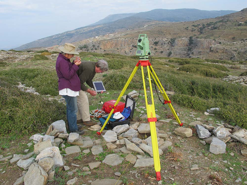
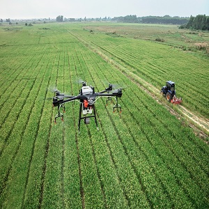
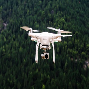
An unmanned aerial vehicle (UAV) is used in a drone survey to collect airborne data with downward-facing sensors like RGB or multispectral cameras and LIDAR payloads. The ground is photographed numerous times from various angles during a drone survey with an RGB camera, and each image is tagged with coordinates.